


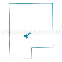
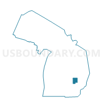
Voting District 0492900000053, Genesee County, Michigan
About
Outline

Summary
| Unique Area Identifier | 596590 |
| Name | Voting District 0492900000053 |
| County | Genesee County |
| State | Michigan |
| Area (square miles) | 3.55 |
| Land Area (square miles) | 3.55 |
| Water Area (square miles) | 0.00 |
| % of Land Area | 100.00 |
| % of Water Area | 0.00 |
| Latitude of the Internal Point | 42.96927920 |
| Longtitude of the Internal Point | -83.73792350 |
Maps

Graphs
Select a template below for downloading or customizing gragh for Voting District 0492900000053, Genesee County, Michigan


Neighbors
Neighoring Voting District (by Name) Neighboring Voting District on the Map
- Voting District 0492900000050, Genesee County, MI
- Voting District 0492900000054, Genesee County, MI
- Voting District 0492902000011, Genesee County, MI
- Voting District 0492902000012, Genesee County, MI
- Voting District 0492902000014, Genesee County, MI
- Voting District 0492902000015, Genesee County, MI
- Voting District 0492902000019, Genesee County, MI
- Voting District 0495616000002, Genesee County, MI
- Voting District 0495616000003, Genesee County, MI
Top 10 Neighboring County Subdivision (by Population) Neighboring County Subdivision on the Map
- Flint city, Genesee County, MI (102,434)
- Flint charter township, Genesee County, MI (31,929)
- Mundy township, Genesee County, MI (15,082)
Top 10 Neighboring Place (by Population) Neighboring Place on the Map
Top 10 Neighboring Unified School District (by Population) Neighboring Unified School District on the Map
- Flint City School District, MI (102,384)
- Carman-Ainsworth Community School District, MI (32,268)
- Swartz Creek Community Schools, MI (24,848)
Top 10 Neighboring State Legislative District Lower Chamber (by Population) Neighboring State Legislative District Lower Chamber on the Map
Top 10 Neighboring State Legislative District Upper Chamber (by Population) Neighboring State Legislative District Upper Chamber on the Map
Top 10 Neighboring 111th Congressional District (by Population) Neighboring 111th Congressional District on the Map
Top 10 Neighboring Census Tract (by Population) Neighboring Census Tract on the Map
- Census Tract 129.04, Genesee County, MI (6,522)
- Census Tract 110.10, Genesee County, MI (5,680)
- Census Tract 135, Genesee County, MI (4,860)
- Census Tract 109.12, Genesee County, MI (3,123)
- Census Tract 9800, Genesee County, MI (43)